
#seismicanalysis #geotechnicalengineering #seismicdata #geotech #earthquakesurvey #seismicmapping #geophysicalsurvey #structuralanalysis #seismicresearch #geotechnics
Introduction to seismic surveys in Geotechnical engineering.
Seismic surveys have emerg
ed as a powerful tool in assessing and mitigating the risks associated with earthquakes and other seismic events in the geotechnical engineering perspective. These surveys provide invaluable insights into the behavior of the Earth's subsurface, helping us understand the potential risks and vulnerabilities that exist in various regions. By employing advanced techniques and state-of-the-art instruments, seismic surveys enable us to make informed decisions regarding the design and construction of infrastructure, ultimately leading to cost-effective risk management strategies.
How is seismic survey testing done?
Seismic survey testing involves the use of seismic waves generated by controlled sources and recorded by sensitive instruments called seismographs. These waves travel through the Earth and are reflected, refracted, or diffracted by different geological formations, creating a detailed image of the subsurface. The process typically begins with the placement of seismic sources, such as explosives or vibrators, at specific locations. These sources generate waves that propagate through the ground, and their reflections are recorded by seismographs strategically placed in the vicinity. The data collected from these recordings are then processed and analyzed to create detailed subsurface models.
Why is seismic testing done?
Seismic survey testing in geotechnical engineering is conducted for a variety of reasons, primarily to assess the risks associated with earthquakes and ensure the safety and stability of buildings and infrastructure. By understanding the geological characteristics of an area, seismic testing helps in identifying potential hazards and vulnerabilities that could pose a threat in the event of an earthquake. This information is crucial for architects, engineers, and construction professionals, as it allows them to design and construct geotechnical engineering structures that can withstand the forces generated by seismic events. Additionally, seismic testing provides valuable data for seismic hazard mapping and analysis, allowing for more accurate predictions of ground shaking and potential damage.
Type of Seismic Survey: Active & Passive
Seismic survey in geotechnical engineering can be categorized into two main types: active and passive. Active seismic surveys involve the generation of controlled seismic waves through the use of artificial sources. These waves are then recorded and analyzed to determine the subsurface characteristics. Passive seismic surveys, on the other hand, rely on naturally occurring seismic waves, such as those generated by earthquakes or human activities. These waves are recorded and analyzed to gain insights into the subsurface without the need for active sources. Both types of surveys have their own advantages and limitations, and the choice between them depends on the specific objectives of the study and the geological conditions of the area.
ACTIVE SEISMIC SURVEY METHODS
Active seismic surveys typically use energy sources such as explosives, vibrators, or air guns to generate seismic waves. These energy sources are placed at predetermined locations and triggered to send out a series of pulses that propagate through the subsurface. The reflected signals from these pulses are then recorded by seismographs at various distances from the source. The resulting data are then processed and analyzed to produce images of the subsurface structure. This type of survey is often used in areas where access is limited or where natural seismic activity is low. Additionally, active surveys provide more accurate results than passive surveys due to the greater control over the energy source and its location.
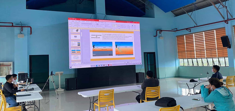
SEISMIC REFRACTION
Seismic refraction is a type of active seismic survey method that uses the principle of wave refraction to determine the subsurface characteristics. This method involves shooting a series of seismic waves from different angles at the ground surface and measuring the time taken for these waves to travel through the subsurface and reflect back. The data obtained from this process can then be used to identify different layers within the subsurface, such as bedrock or sedimentary layers. Seismic refraction is often used in areas where it is difficult to access due to its low impact on the environment. Additionally, this method can provide more accurate results than other active survey methods since it takes into account the varying densities of different subsurface layers.
SEISMIC REFLECTION
Seismic reflection is another type of active seismic survey method that utilizes the principle of wave reflection to image the subsurface. This method involves shooting a series of seismic waves from one point and measuring the time it takes for the waves to travel through the subsurface, reflect off different layers, and return back to the surface. The data collected from this process can then be used to generate images of the subsurface structure. Seismic reflection is often used in areas with complex geological structures since it can provide more detailed information than other active survey methods. Additionally, this method has low environmental impact since it does not require any surface disturbance or energy sources.
MASW SURVEY
MASW (Multichannel Analysis of Surface Waves) is a type of active seismic survey method that uses low-frequency surface waves to image the subsurface. This method involves sending out a series of low-frequency seismic waves at the ground surface and measuring their propagation velocity. The data collected from this process can then be used to construct an image of the subsurface structure. MASW surveys are often used in areas where access is limited or conventional seismic surveys are not feasible due to their low environmental impact. Additionally, this method can provide more accurate results than other active survey methods since it takes into account the varying densities of different subsurface layers.
PASSIVE SEISMIC SURVEY METHODS
Passive seismic survey methods are used to measure naturally occurring seismic waves in the subsurface. This method involves placing a network of seismometers at the ground surface and recording any seismic waves that occur in the area. The data collected from this process can then be used to construct an image of the subsurface structure. Passive seismic surveys are often used in areas where access is limited, or conventional seismic surveys are not feasible due to their low environmental impact. Additionally, this method can provide more accurate results than other active survey methods since it takes into account the varying densities of different subsurface layers.
HORIZONTAL TO VERTICAL SPECTRAL RATIO (HVSR)
Horizontal to Vertical Spectral Ratio (HVSR) is another type of passive seismic survey method used to measure naturally occurring seismic waves in the subsurface. This method involves placing a network of seismometers at the ground surface and recording any seismic waves that occur in the area. The data collected from this process can then be used to construct an image of the subsurface structure. HVSR surveys are often used in areas where access is limited or conventional seismic surveys are not feasible due to their low environmental impact. Additionally, this method can provide more accurate results than other active survey methods since it takes into account the effects of local topography on seismic wave propagation. HVSR is also useful for determining the thickness of sedimentary layers, as well as for identifying potential faults or fractures in the subsurface.
REFRACTION MICRO-TREMOR (REMI)
Refraction Micro-tremor (ReMi) is a passive seismic survey method used to measure naturally occurring seismic waves in the subsurface. This method involves placing a network of seismometers at the ground surface and recording any seismic waves that occur in the area. The data collected from this process can then be used to construct an image of the subsurface structure. ReMi surveys are often used in areas where access is limited or conventional seismic surveys are not feasible due to their low environmental impact. Additionally, this method can provide more accurate results than other active survey methods since it takes into account the effects of local topography on seismic wave propagation, as well as for identifying potential faults or fractures in the subsurface. ReMi surveys are also useful for determining the thickness of sedimentary layers, and can even reveal subtle changes in rock properties such as porosity and permeability.
What is the instrument used in seismic survey?
Seismic surveys rely on a range of instruments to measure and record seismic waves. The primary instrument used is the seismograph, which consists of a sensor called a seismometer and a recording device. Seismometers are designed to detect even the slightest ground motion and convert it into an electrical signal. The recording device, typically a digital data logger, captures and stores the signals received by the seismometer. These instruments are often deployed in arrays to capture a broader range of seismic data and provide a more comprehensive understanding of the subsurface. Additionally, advanced technologies, such as accelerometers and GPS receivers, are used to enhance the accuracy and precision of seismic measurements.
Seismic hazard analysis in construction.
Seismic hazard analysis is a crucial aspect of construction in regions prone to earthquakes. It involves evaluating the potential ground shaking and other seismic hazards that may occur in a given area. By analyzing historical seismic data, geological information, and site-specific factors, engineers can determine the level of hazard and design structures accordingly. This analysis helps in selecting appropriate design parameters, such as the maximum allowable ground acceleration, and implementing necessary measures to mitigate the potential risks. By incorporating seismic hazard analysis into the construction process, developers can ensure the safety and longevity of their projects while minimizing the potential for costly repairs or reconstruction in the future.
How seismic surveys can help save time and money.
Seismic surveys offer significant cost-saving benefits by providing valuable information that can optimize the design, construction, and maintenance of infrastructure. By accurately assessing the subsurface conditions, these surveys help in identifying potential risks and vulnerabilities early on in the project lifecycle. This allows engineers and architects to incorporate appropriate design measures, such as the use of reinforced materials or innovative construction techniques, to enhance the resilience of structures. Additionally, by understanding the geological characteristics of an area, developers can select suitable locations for construction, avoiding areas with a high risk of ground failure or liquefaction. These proactive measures not only reduce the likelihood of costly repairs or reconstruction but also contribute to the overall efficiency and sustainability of the project.
Conclusion: Harnessing the power of seismic surveys for cost-effective risk management.
Seismic surveys provide a powerful tool for reducing the risk associated with construction projects in seismic-prone regions. By accurately assessing the subsurface conditions and geological characteristics of an area, engineers and architects can select suitable sites for construction, incorporate appropriate design measures to enhance structural resilience and optimize the project lifecycle. Additionally, by leveraging advanced technologies such as accelerometers and GPS receivers, these surveys can be used to improve the accuracy and precision of seismic measurements. This allows developers to proactively manage potential risks while saving time and money. By harnessing the power of seismic surveys for cost-effective risk management, developers can ensure the safety and longevity of their projects while minimizing potential losses due to costly repairs or reconstruction in the future.
We also answer questions about other aspects of soil testing, geophysical surveys, water resources and environmental management. Message us to schedule a free consultation. We are here to assist you in ensuring the success of your construction projects.
